A French Astronomer's Account of Pulo Pinang (1768)

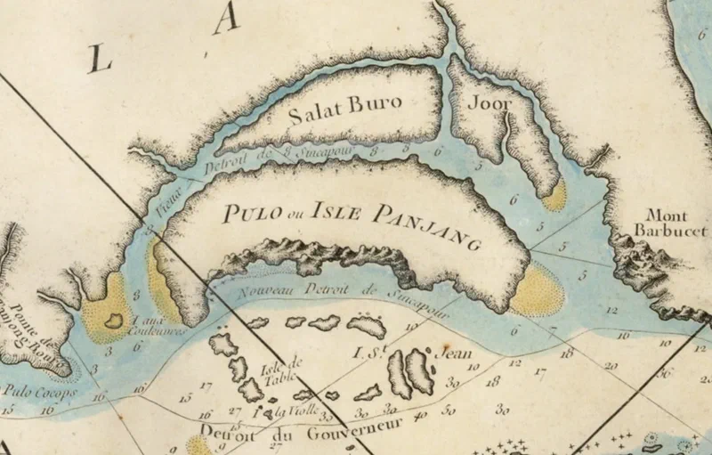
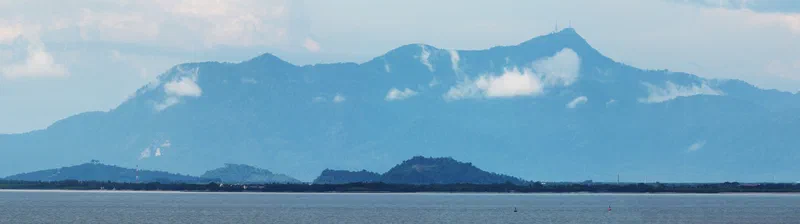
Few Penangites know that 18 years before the British East India Company occupied Pulau Pinang, a French astronomer riding out a storm off its south coast drew the first known picture of the island. This is the story of Guillaume Le Gentil and his few eventful days off “Pulo Pinang.”
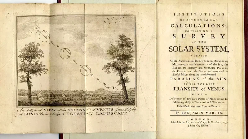
Le Gentil, a member of France’s Royal Academy of Sciences, had been sent east in 1760 to observe the transit of Venus, a rare event that promised to reveal the distance from the Earth to the sun. Arriving too late, he watched it from the deck of a rocking ship, and resolved to wait eight years for the next one. A stay in Manila soured when the Spanish governor took him for a spy, and in February 1768 he sailed for Pondicherry aboard the Saint-Antoine, an ill-ballasted ship with neither surgeon nor chaplain.
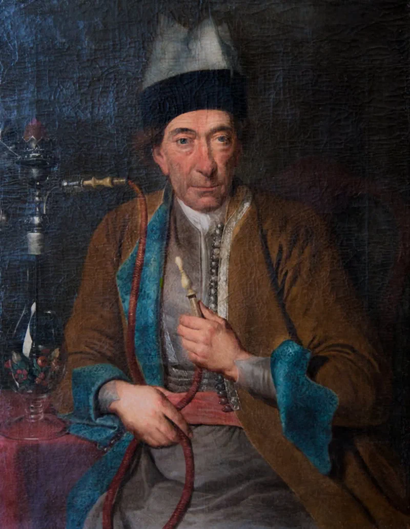
Trouble came early. By night, passing a rock in the narrows near Singapore that French charts called Viole (Pulau Biola), the captain and the chief pilot quarrelled, and the pilot shut himself in his cabin, “abandoning his ship to the pleasure of the wind.” Le Gentil went to the rudder himself to keep the helmsman on course, his first turn as a pilot, until the Armenian supercargo, Melchizedek, shamed the man back to work with a single line of Spanish: “Hombre, tiene usted conciencia!” (Are you a man who hath conscience?)
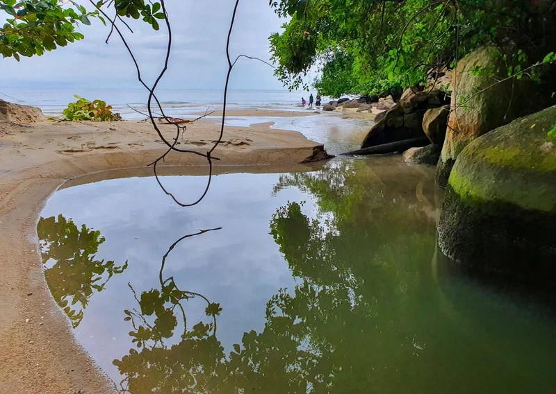
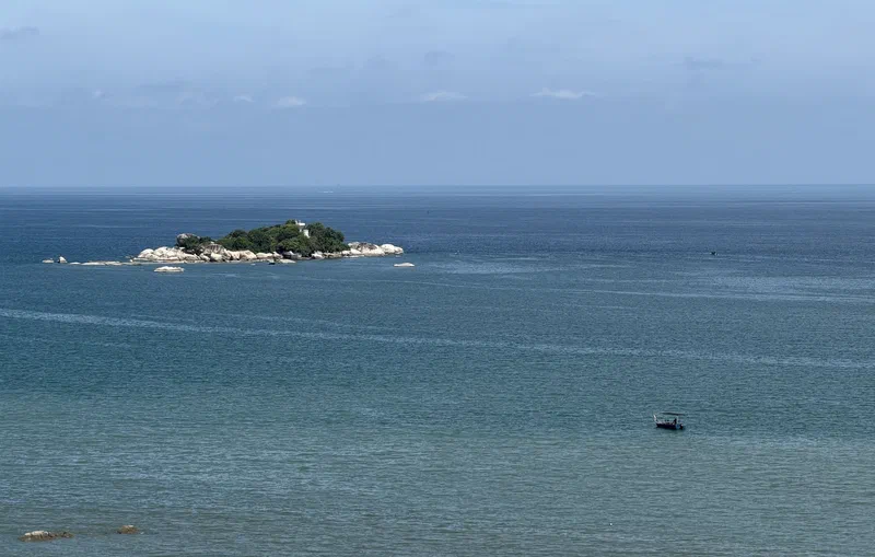
On 10 March, the Saint-Antoine anchored off south coast of Penang to take on water, probably from the streams near Tanjung Gemuruh, close to a stretch of shore still called Pasir Belanda. Both chief pilots and a passenger went ashore out of sheer curiosity. Le Gentil, whose rule was never to leave his ship outside a port or safe roadstead, stayed aboard. Then the weather broke. Twice the boat was driven back through pitch darkness and rain, on a sea that glowed as if on fire, before the men clawed their way back on the third attempt, crying for a cable and hauling a monstrous “sea-devil” snagged on their grapnel. The captain left in charge, Le Gentil fumed, was as fit to command a ship as he was to lead an army.
Between squalls, he sketched the island from the deck. He was not the first to record Pulo Pinang, for an East India Company ship had marked a town on its chart five years earlier, but his is the earliest known picture of it. His account survives in a long, intimate letter to a friend, a canon of Manila Cathedral, now translated in full for the first time. Fate was less kind to the man himself. Clouds hid the 1769 transit from him at Pondicherry, while half a world away in Tahiti, James Cook watched it under clear skies. When Le Gentil finally reached France, he found himself declared dead, his wife remarried and his estate divided among his heirs. The unluckiest astronomer who ever lived gave Penang its earliest known likeness.
This new was first presented at the “Penang Hill: Echoes Through Time” panel during the Penang Hill Festival on 18 July 2026. Read “The Sulking Pilot and the Sea-Devil: A French Astronomer’s Account of Penang in 1768” in the October issue of Penang Monthly:
#penang #pulaupinang