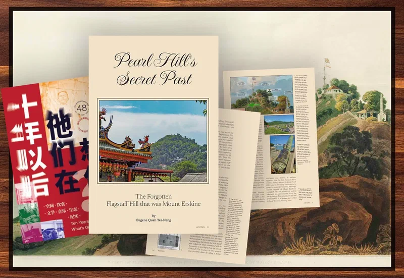
Ever wondered where the actual Mount Erskine is in Penang? The name might sound familiar, but its location remains unclear to most locals. What Penangites now call Pearl Hill in Tanjung Bungah – a name derived from a company that developed it in the 1970s and marketed it as Mount Evergreen – is actually Mount Erskine.
During the Napoleonic Wars, it hosted a signal station and flagstaff for the East India Company. Its location, the north-easternmost extent of the Penang Hill range, gave it a strategic view of the North Channel, the great bay, and Fort Cornwallis.
More than a century later, during World War II, an artillery Fire Control Post was built at the peak, though it was abandoned before it ever saw battle. Today, you can still find the remains of this post, a silent testament to the hill’s military past.
Interested in digging deeper into this forgotten flagstaff hill? You can learn more in Volume 48 of the Penang City Eye, which features an excerpt from my upcoming book on the North Coast of Penang.
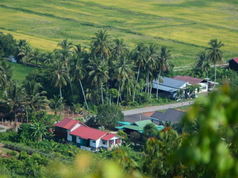
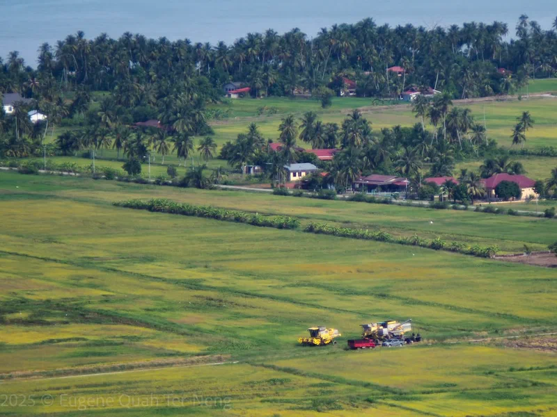
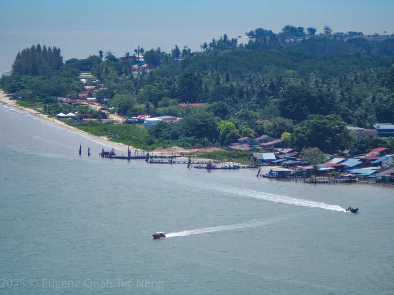
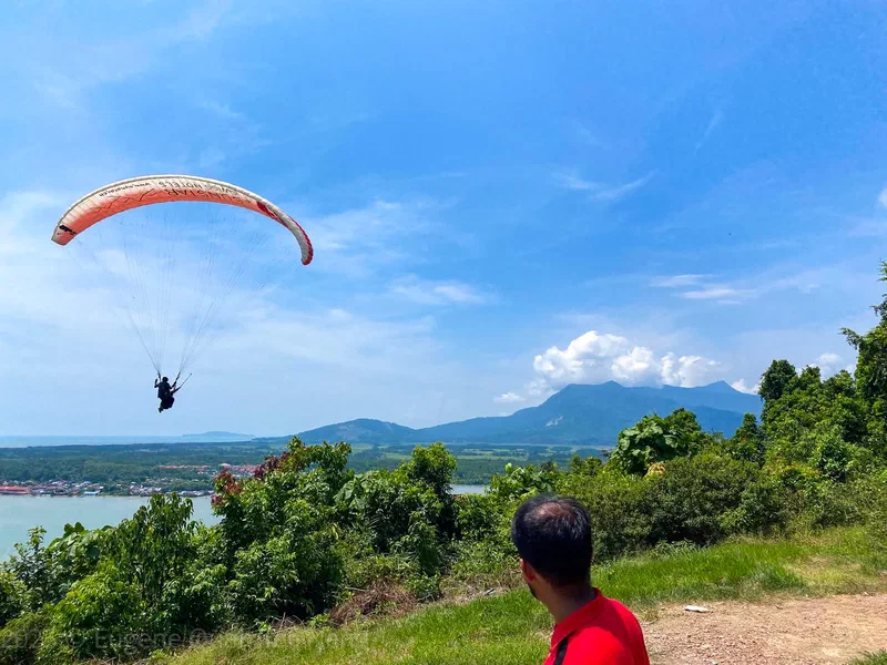
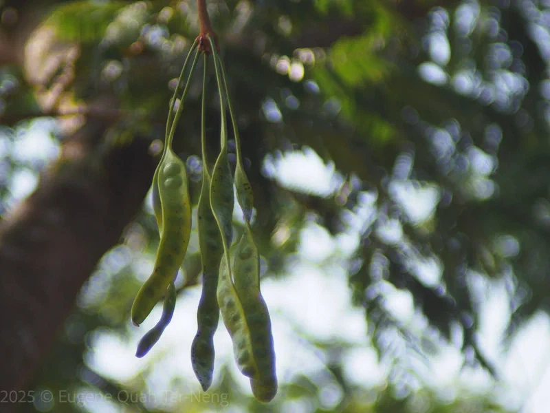
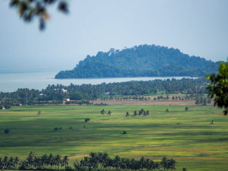
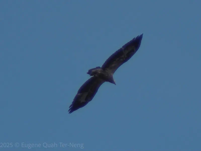
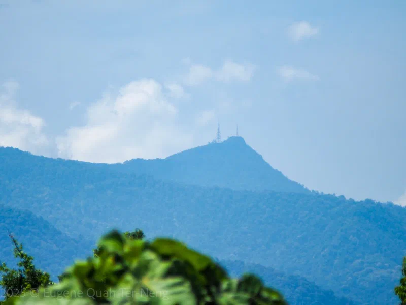
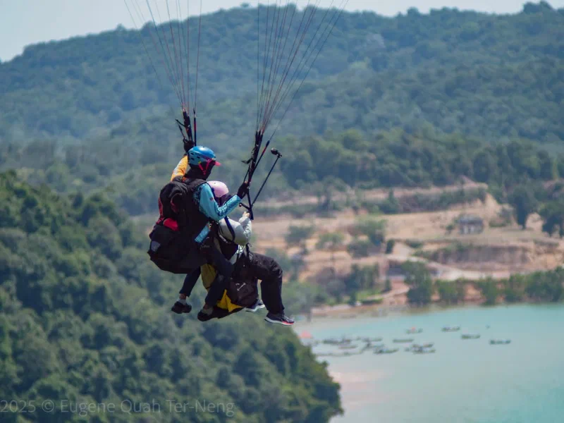
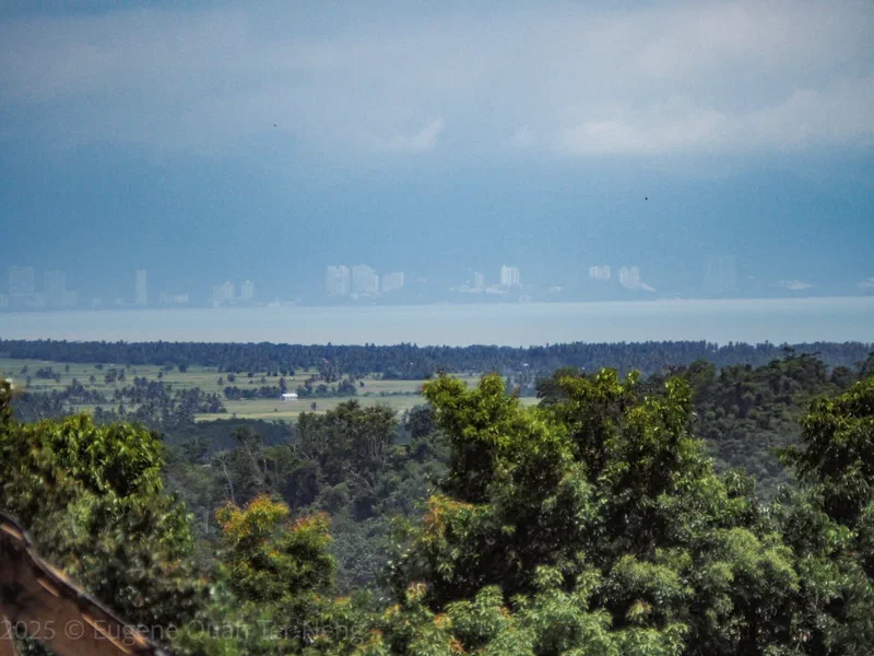
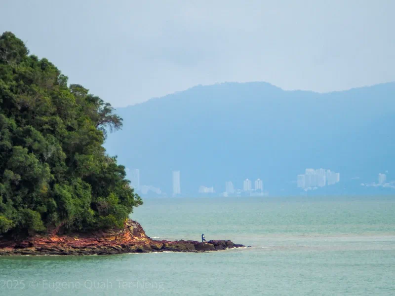
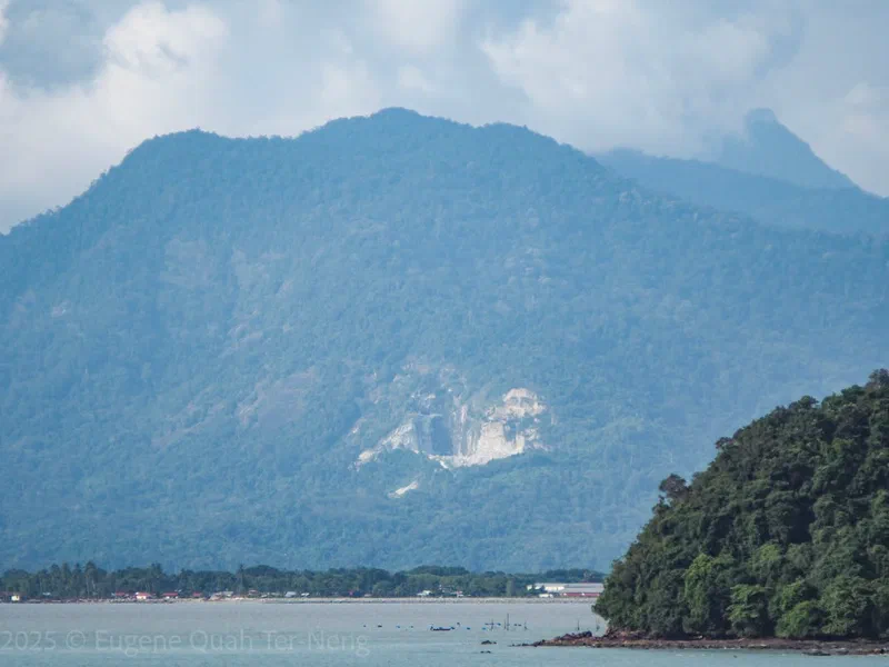
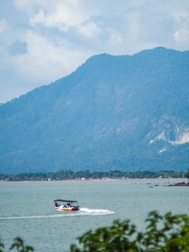
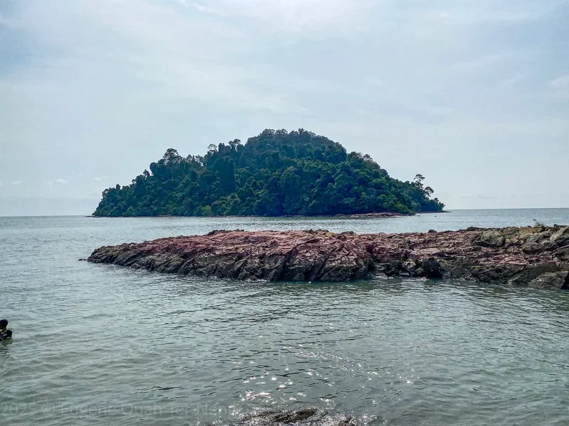
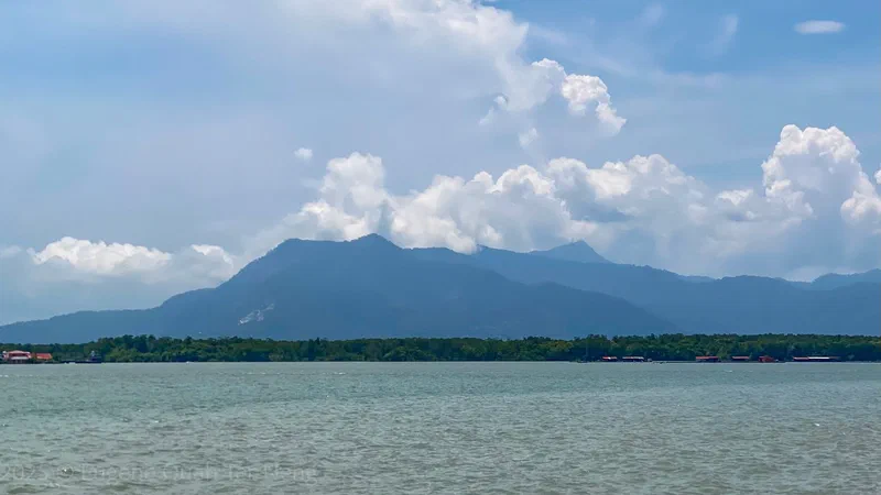
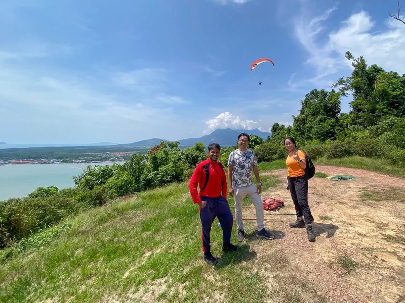
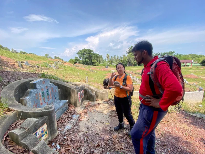
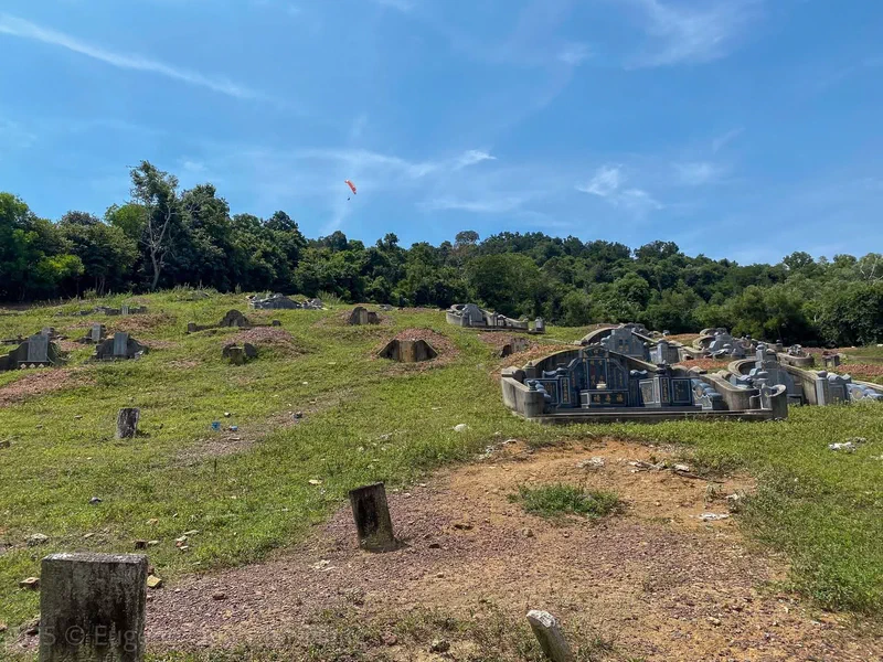
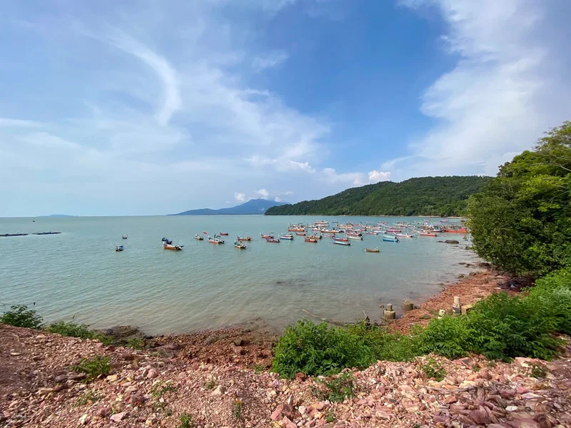
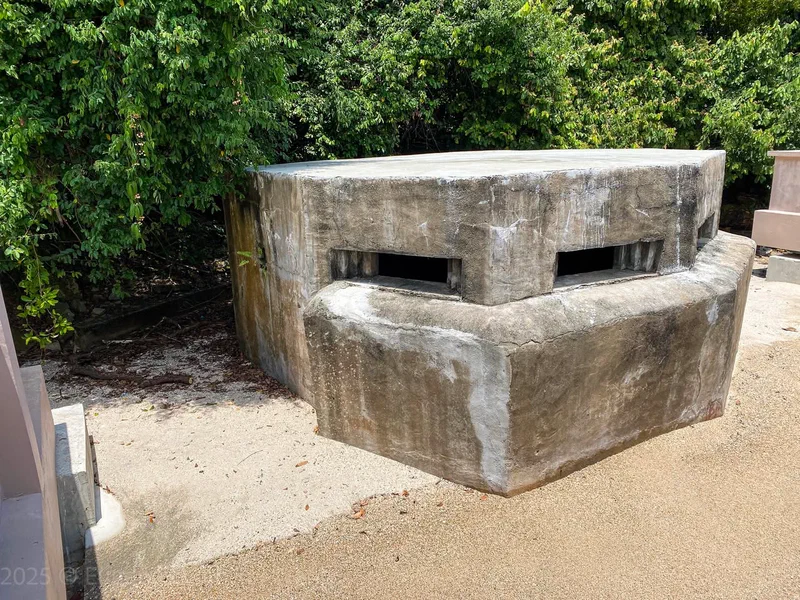
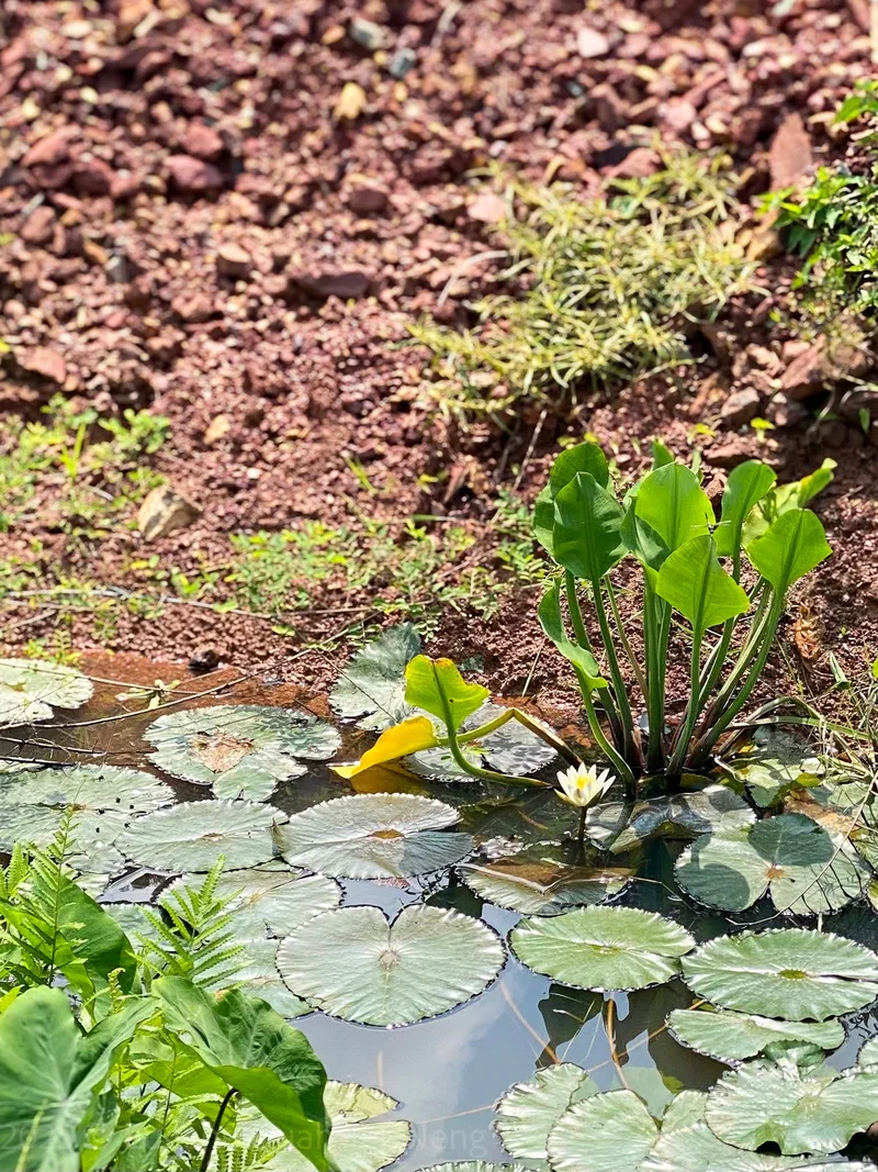
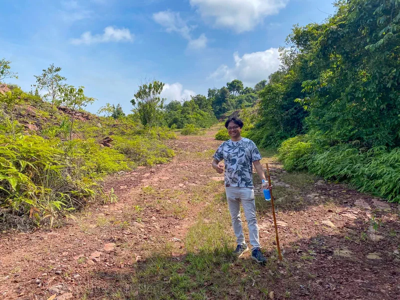
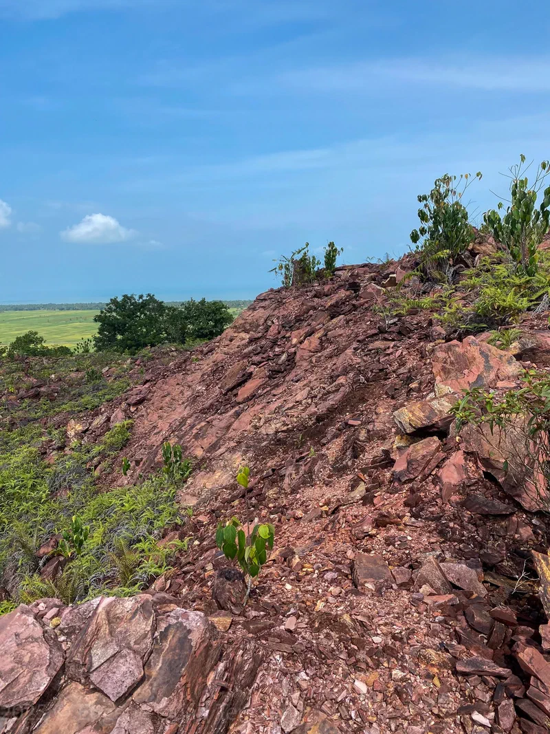
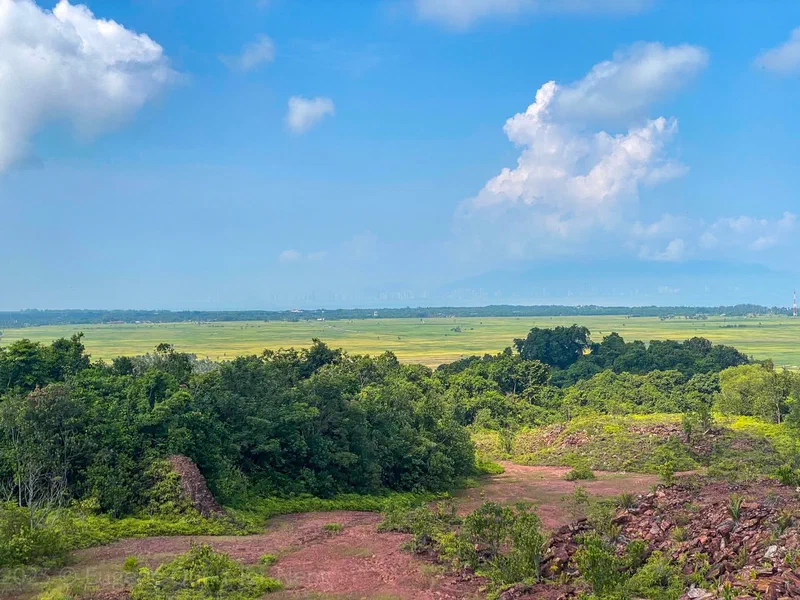
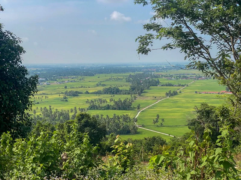
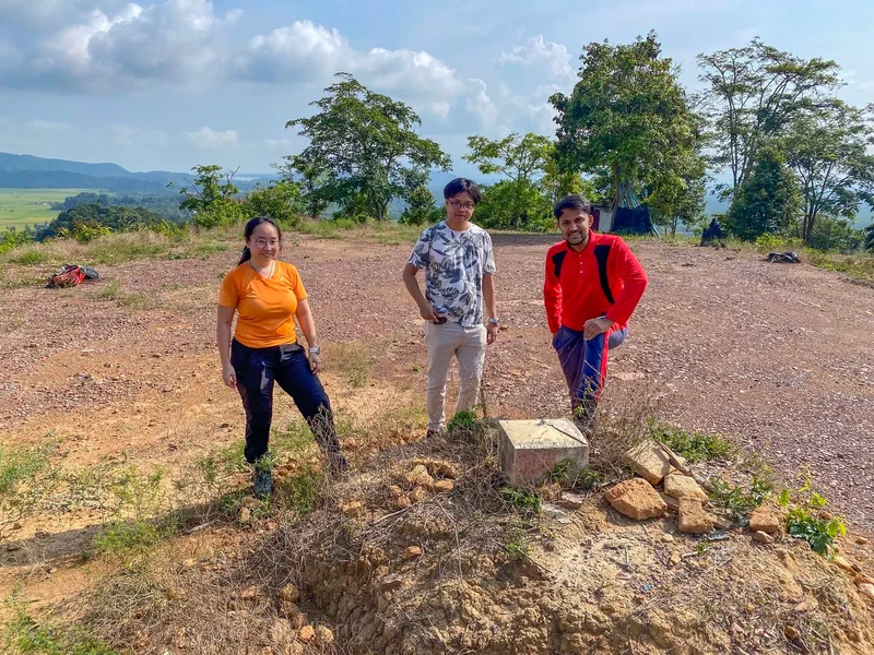
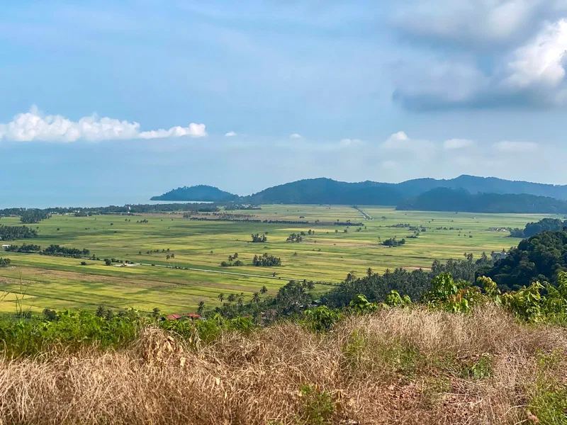
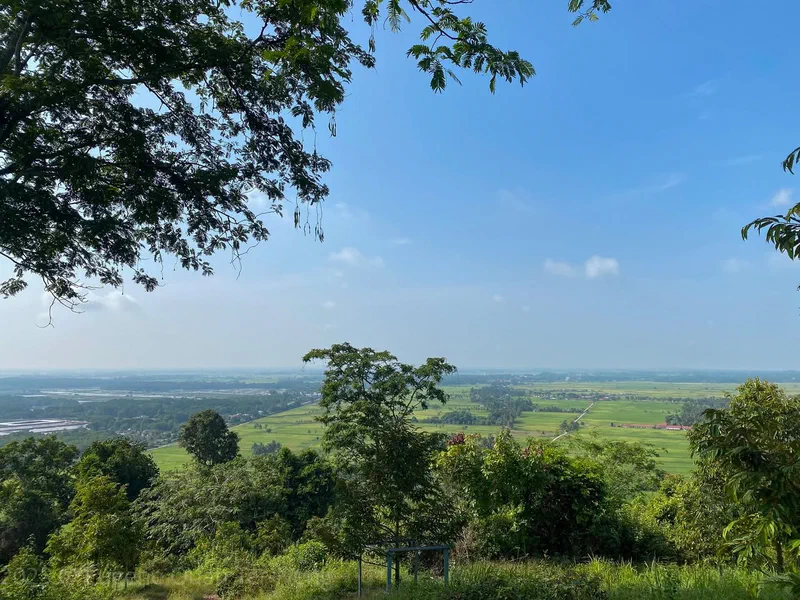
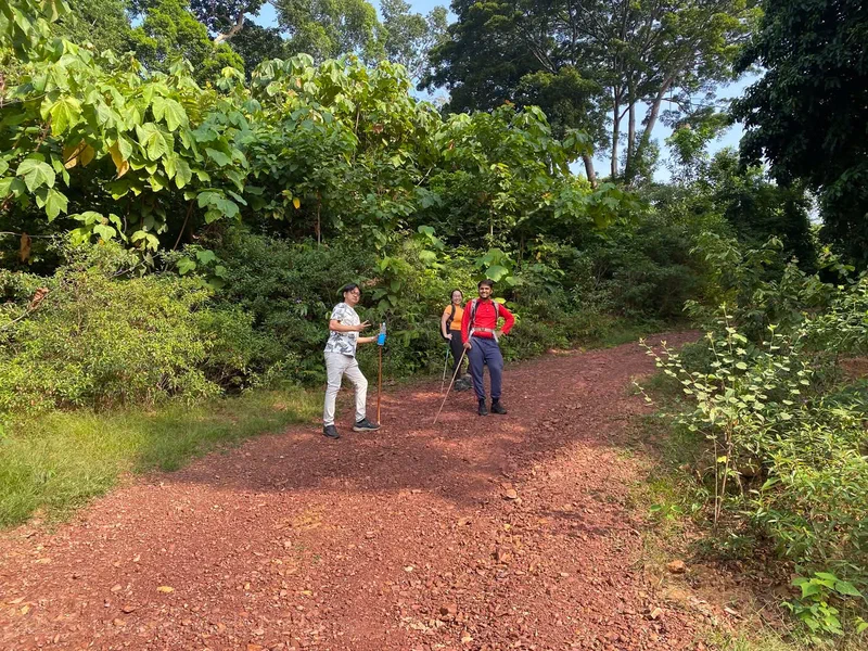
Exploring various sites at the south part of the Jerai Geopark with Rexy Prakash Chacko, Alena Ling and Zuhairy Fauzy on 7 August 2025. We climbed Bukit Meriam and Bukit Penjara, checked out a WW2 pillbox at Pantai Merdeka and then headed for Kampung Pulau Sayak at the mouth of the Sungai Merbok to enjoy mee udang while watching the sunset. From most of the places we visited, if one looks carefully, Penang Island can be seen in the distance. Some of the shots were taken using a 1970s film telephoto lens, hence the cinematic look.
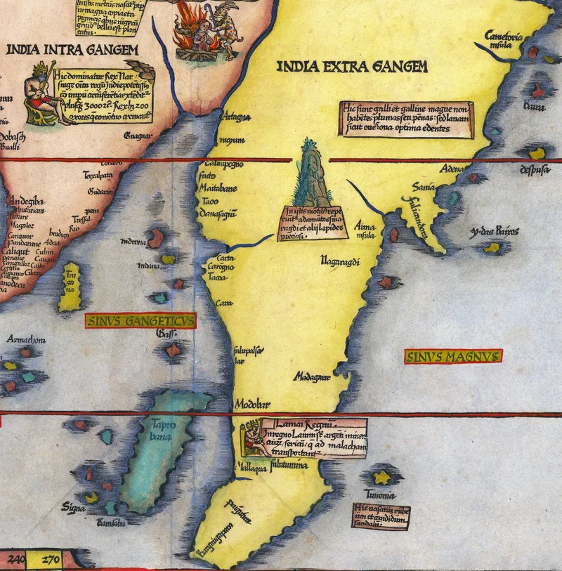
In 1535, the German physician-turned-cartographer, Lorenz Fries, created this beautiful rendition of India and Southeast Asia, reflecting early modern cartographic depictions of the region. Emphasising Southeast Asia, India, Sri Lanka, and the Indian Ocean, it is a condensed version of Waldseemüller’s 1513 map, recognised as the first modern exploration of this territory. In the analysis of place names in this chart, it becomes evident that European cartographers at this period incorporated knowledge from their counterparts in the Islamic world, drawing upon navigational expertise that had been refined through generations of Arab, Persian, and Turkish seafaring experience.
Annotations and Sources
Fries enriched his work with marginal annotations adapted from Martin Waldseemüller’s earlier charts. Many of these drew upon Marco Polo’s celebrated 13th-century travels, whilst others reflected geographical knowledge that had circulated within Asian and Arabic scholarly traditions for centuries. The resulting map presents a richly layered representation of the region, where established ports and kingdoms appear alongside marvels, cultural memories, and half-remembered tales from distant voyages.
One particularly intriguing annotation appears directly above Mallaqua (Melaka):
Lamai Regn[um]. In regno Lamai [sunt] arg[en]ti minea [aurum] / sericum / q[ue] ad malacham transportant[ur] [Kingdom of Lamai. In the kingdom of Lamai, there are mines of silver and gold, and silk, which are transported to Malacca.]
The Mystery of Barcingapura
At the southern tip of the Malay Peninsula (then designated as part of India Extra Gangem, or India beyond the Ganges), Fries marked an enigmatic location called Bargcingapura (also spelt as Barcingapura and Barxingapura).
In 2007, historian Peter Borschberg of the National University of Singapore proposed that the term ba(r)-xin derives from Persian origins. I had the pleasure of meeting Professor Borschberg last year at Julian Candiah’s talk on early Straits cartography. A specialist in the region’s cartographic traditions, Borschberg noted that the Persian word bâr signifies ‘port’ or ‘coast’, and appears in the Ottoman–Turkish navigational manual Kitab-i Muhit, where Bâr-Čin refers specifically to the coastal regions around the South China Sea and the eastern shores of the Malay Peninsula. The Persian word itself is a borrowing from Arabic. This usage considerably predates Fries’ map, and extends much further into history.
Ancient Maritime Terminology
In 841 CE, an Arab merchant named Sulaymān al-Tājir (سليمان التاجر, Solomon the Merchant) undertook an eastward voyage to Guangzhou in China. His account, translated by French linguist Gabriel Ferrand in 1922, provides crucial evidence:
“From Langabâlûs [Nicobar Islands], the ships then set sail for a place called Kalâh-bâr. The name bâr is also used to designate both a kingdom and a coast. Kalâh-bâr belongs to the empire of Jâwaga (Java), which lies to the south of the land of India.”
This account directly connects the term bâr to a strategic location at the northern entrance to the Straits of Malacca. Writing in 1923, Richard James Wilkinson argued in his History of the Peninsular Malays that Kalâh-bâr almost certainly referred to Kedah, a conclusion supported by subsequent scholarship. Based on Sulaymān’s ancient usage of the Arabic term, Malabar (مَلَبَار) appears to be a combination of the borrowed Malayalam, മല (mountain) and bâr, بَرّ (coast).
The Gateway Hypothesis
Borschberg poses a compelling question: ‘What is the gapura or gateway alluded to by this toponym [Barcingapura]?’ His answer: ‘The Singapore Straits, of course’. For seafarers approaching from the west (whether Arab, Persian, Turkish, or Indian merchants crossing the Bay of Bengal), the narrow channel would indeed have appeared as a gateway to the South China Sea and the riches beyond.
This proposes an alternative etymology, different from the more familiar Singapura as ‘Lion City’ explanation given by the Sulalatus Salatin (سلالة السلاطين). Borschberg points out that the Barcingapura name predates the 17th century Malay text, as it had appeared on charts as early as 1502. He carefully presents his reading not as definitive truth, but as a hypothesis designed “to raise some probing questions precisely about these entrenched historical assumptions”.
Linguistic Melting Pots
If Borschberg’s interpretation proves correct, Barcingapura may originally have meant ‘Gateway to the Coast of China’, a testament to the Singapore Straits’ historical role as an entrance to the Far East. More broadly, this etymology illustrates the complex linguistic melting pot of Southeast Asia, where words carried by merchants, pilgrims, and sailors acquired new meanings and associations as they crossed oceans and cultures, leaving behind traces not only on ancient maps but in the collective memory of maritime civilisation.
Sources:
Barry Lawrence Ruderman Collection (1535). Tabu Moder Indiae.
Peter Borschberg (2012). ‘The Singapore Straits in the Latter Middle Ages and Early Modern Period (c. 13th to 17th Centuries): Facts, Fancy and Historiographical Challenges’, Journal of Asian History, Vol. 46, No. 2.
Gabriel Ferrand (1922). Voyage du marchand arabe Sulaymân en Inde et en Chine, rédigé en 851 (traduit de l’arabe par Gabriel Ferrand).