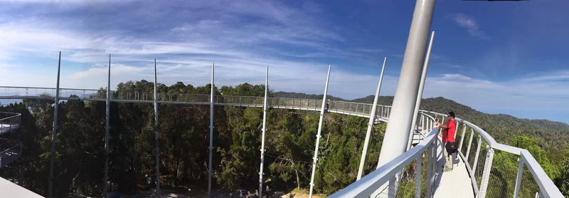
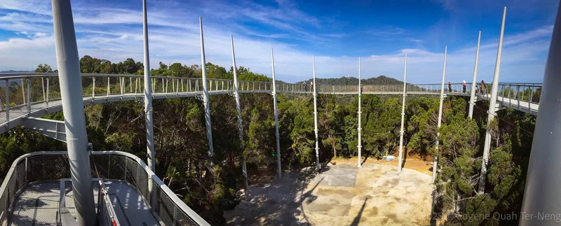
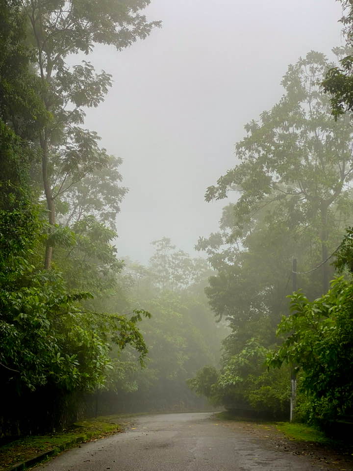
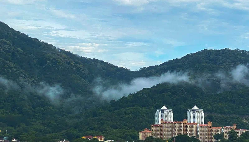
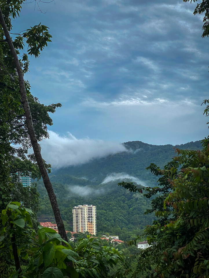
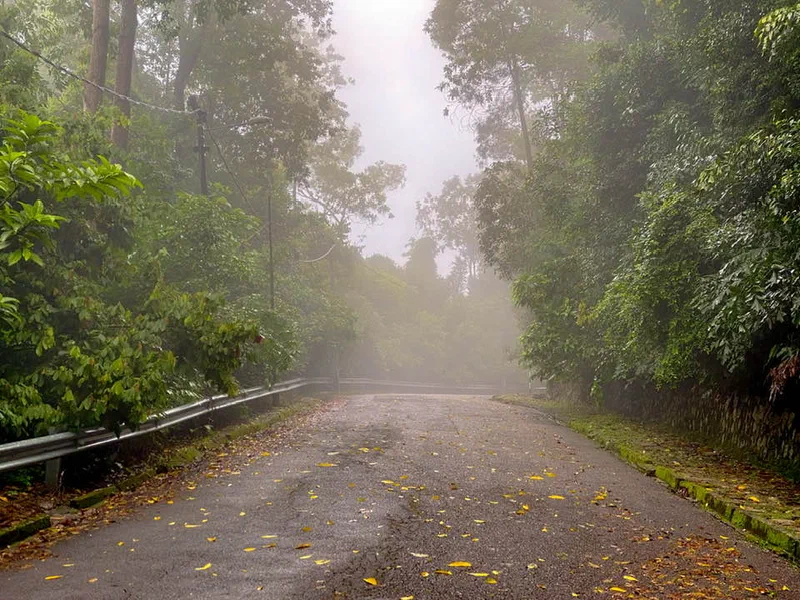
On the morning of January 30, 2017, William Hooi Liam Tan, Map Roseline Ooi and I ventured into The Habitat Penang Hill — a rainforest discovery centre — completely unaware of what awaited us; we had never heard of the place until we walked past the entrance by chance.
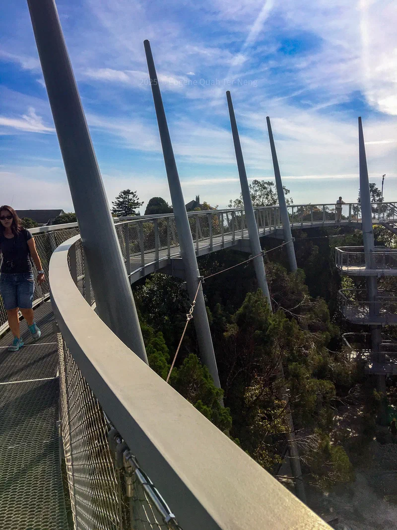
To our delightful surprise, we were invited to experience the newly completed Curtis Crest Treetop Walk during its soft launch — completely free of charge. Standing 815 metres above sea level — within what is today the UNESCO Penang Hill Biosphere Reserve — this remarkable attraction holds the distinction of being the highest viewing platform on Penang Island.
The 13-metre-tall structure rises majestically above the rainforest canopy, offering breathtaking panoramic views that stretch across the island, out over the waters of the Straits of Malacca. Gunung Jerai can be seen in the distance. What began as an unplanned morning stroll turned into an unforgettable first glimpse of this stunning new addition to Penang Hill.
This photo shows the just constructed Treetop Walk, with finishing touches still underway.
Ever wondered what drives people to hike and explore the hills of Penang?
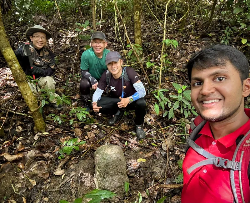
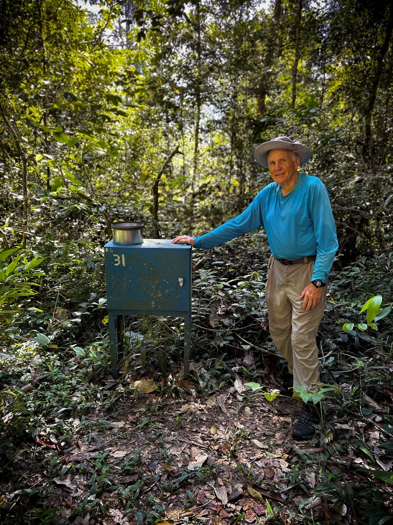
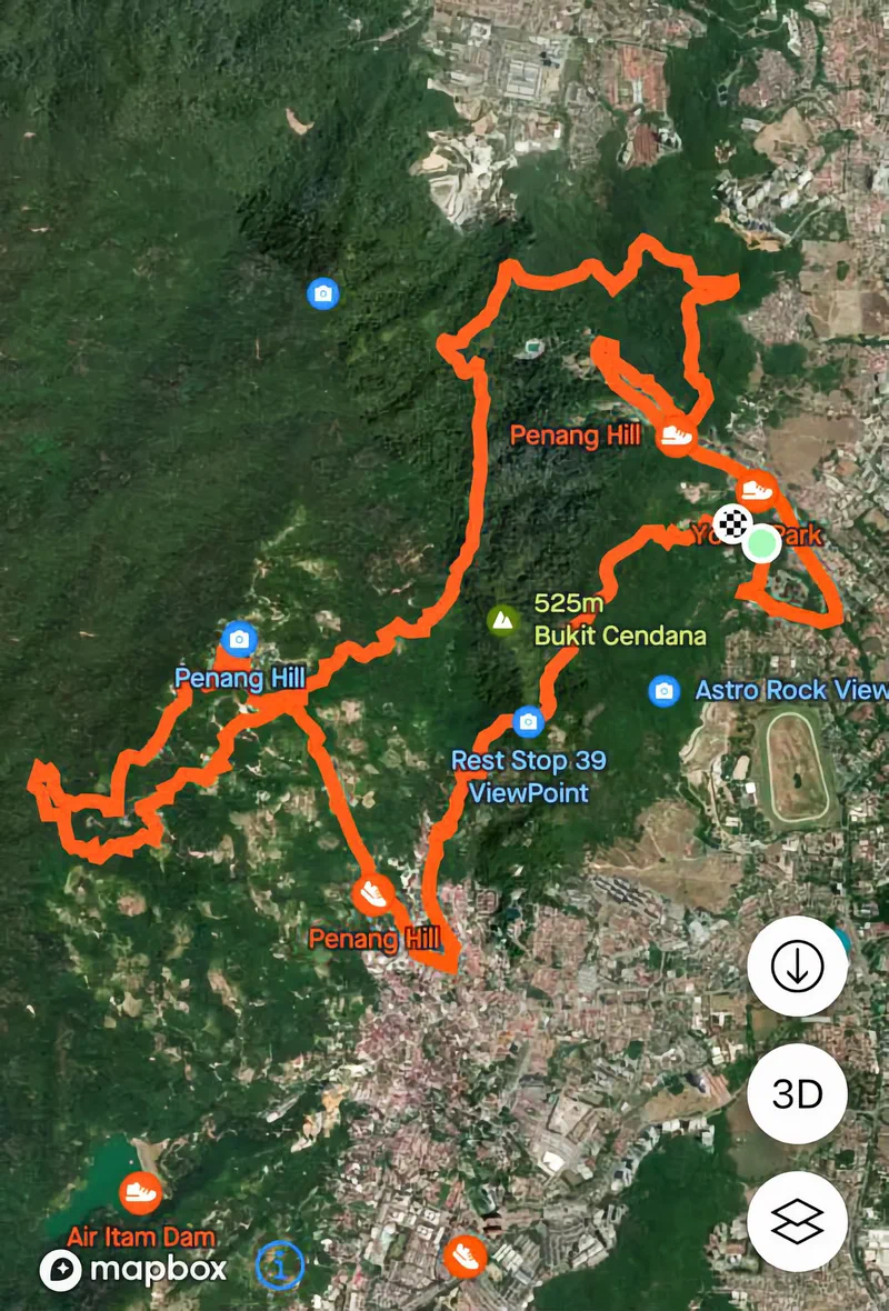
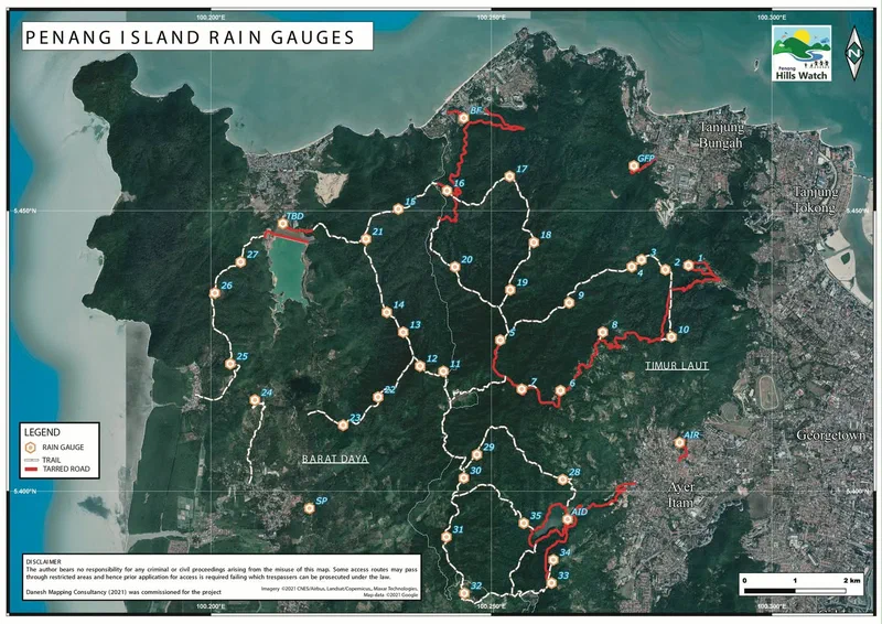
Sure, many Penangites do it for fitness or to soak in nature—but there’s another kind of hiker: the collector. Not of butterflies or leaves, but of colonial trigonometric markers, rain gauges and whimsical GPS art.
In our first-ever collaboration, Rexy Prakash Chacko and I uncover the curious world of hill collectibles—stories of off-road and off-beat pastimes, told through the passions of our friends AS Heng, Rob Dickinson (Website: https://www.internationalsteam.co.uk/penang/
), and Krystal Khaw.
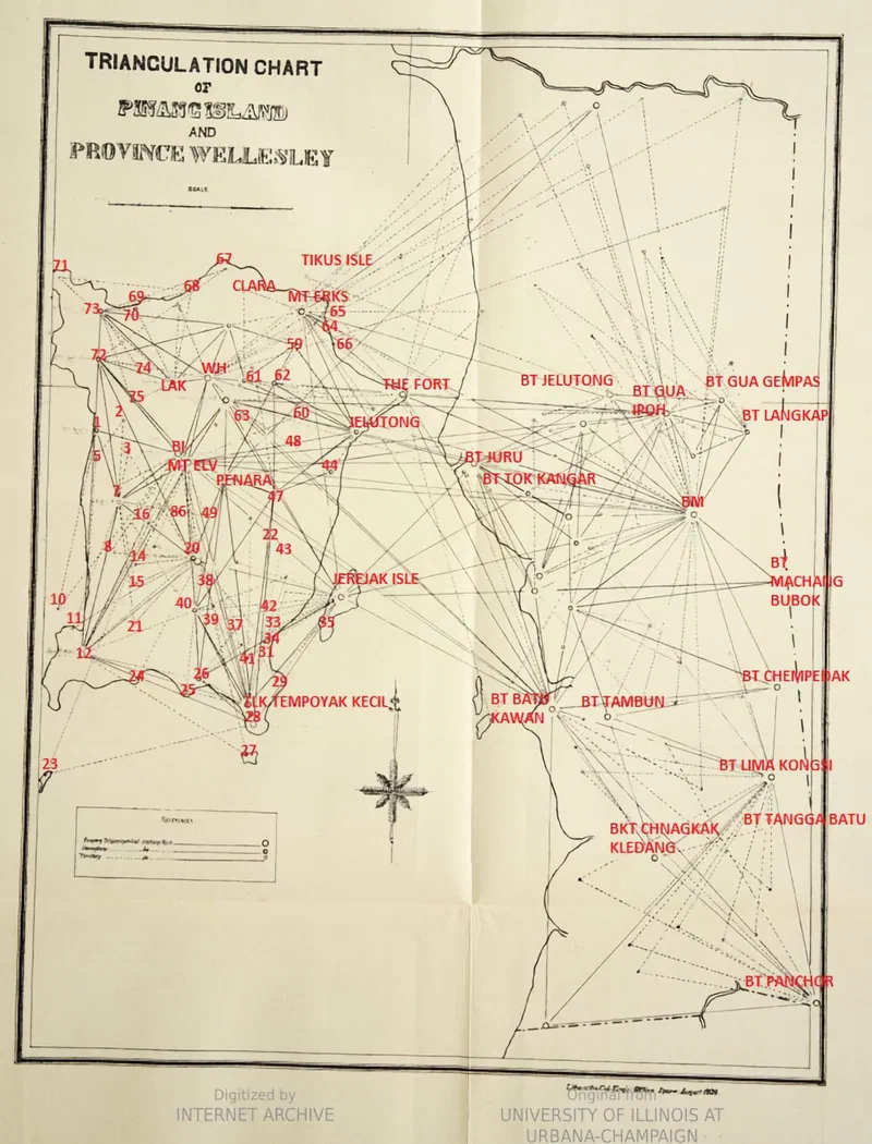
For history buffs, our article also includes a rare map from 1908 which shows the location of all the trigonometric stones and a short explanation of why they were placed around Penang in the late 19th century.
In the end, we found it’s the hills themselves that are the true collectors—gathering our stories, our footsteps, our markers and our maps, layer by layer, generation after generation.
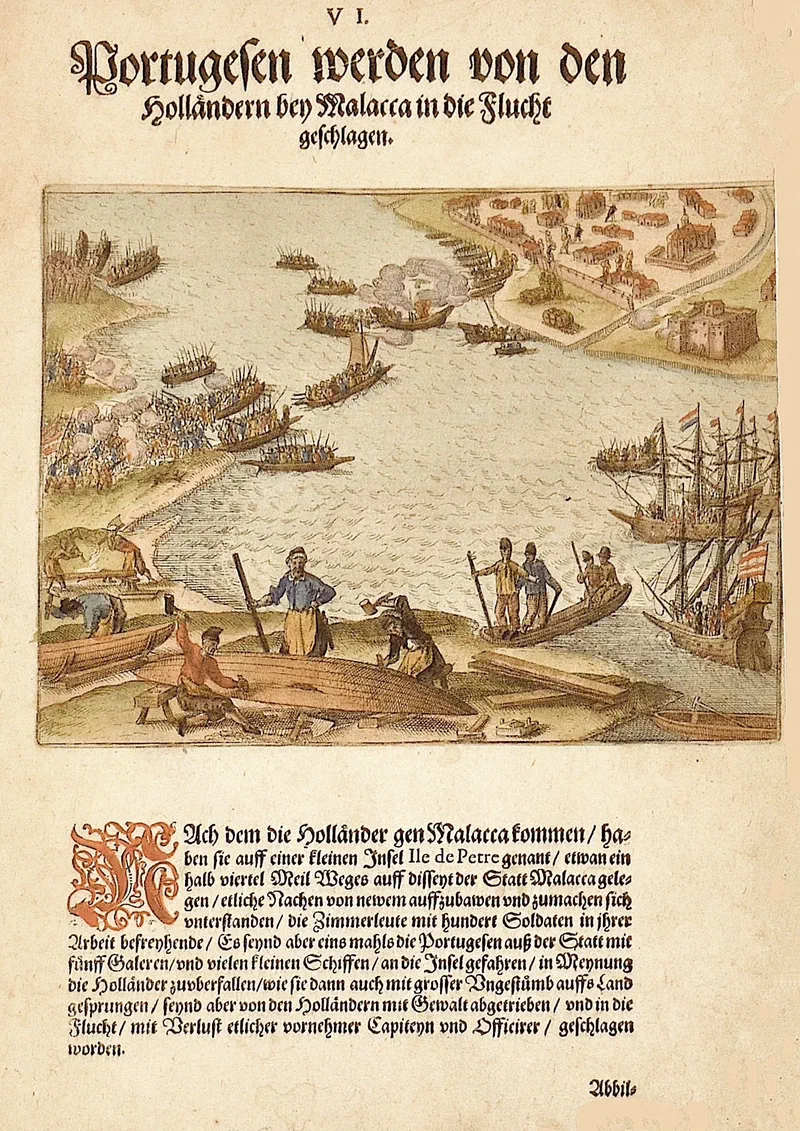
This engraving, published in 1612 by Johann Theodor de Bry, depicts Dutch forces constructing boats on a small island - Pulau Upeh - off Malacca’s coast in late 1608. Though the illustration portrays an inaccurate plan of Malacca seen in the distance, it remains a rare visual depiction of Dutch military operations decades before their eventual conquest.
History textbooks tell us that the Dutch captured Malacca in 1641, but hardly mention the earlier Dutch attempts to prise this prized port from the clutches of the Portuguese. As early as 1606, the Dutch had “made a compact with Johor to seize Malacca,” though this first attempt failed.
In 1608, the Dutch sent their East India Company fleet under Admiral Pieter Willemsz Verhoeff - comprising “nine large and four small ships” - for another attempt.
Writing in 1884, based on Dutch primary sources, the historian Pieter Anton Tiele, who was also librarian of Utrecht University, tells us:
“On 23 November 1608, Verhoeff arrived off the coast of Malacca. The Portuguese, having received timely warning of his approach, had already moved their ships out to open sea. Only an old, abandoned carrack remained in the harbour, which they set on fire themselves.”
Onboard the invasion fleet was a German named Johann Verken, “a native of Leipzig from Meissen”, who had joined the Dutch East India Company - the VOC - as a “soldier and corporal” earlier in November 1607. After all his adventures serving the Company, Verken made it back to Amsterdam in 1612 and published the journals he kept.
This engraving was part of a monumentally ambitious work by publisher De Bry called “Indiae Orientalis (East Indies).” Comprising 13 parts, this compendium contained “accounts of voyages made by European explorers to the East Indies.” The first eight parts were published in German (1597-1606) by Theodor de Bry’s sons - Johann Theodor and Johann Israel. Johann Theodor alone issued parts 9-11, while the final parts (12-13) were published by Matthaeus Merian.
The renowned engravings elevated these publications to what is now considered a quintessential early modern “coffee-table” book—crafted for a general audience rather than those directly involved in trade or colonial affairs.
The page shown here is from Part IX - a particularly interesting part of the series as it contains original and contemporary material from the time - De Bry actually uses an excerpt from Verken’s journals to accompany this engraving, providing us with a firsthand account of the 1608 attempted capture of Malacca by the Dutch. Below is Verken’s description of a Portuguese surprise attack against the Dutch:
“The Portugals are put to flight by the Hollanders at Malacca.
When the Hollanders came unto Malacca, they undertook upon a small Island called ‘Ile de Petre’, lying about half a quarter of a mile on this side of the city of Malacca, to make several new Boats, defending the Carpenters [Shipwrights] in their work with a hundred Soldiers. But upon a time the Portugals came forth from the City with five Galleys and small Ships unto the Island, purposing to fall upon the Hollanders unawares, and did indeed leap ashore with great fury, but were by the Hollanders driven back by force, and put to flight, losing several distinguished Captains and Officers.”
According to Serge Jardin, the “Ile de Petre” mentioned by Verken refers to “Ilha de Pedra (Stone Island), located in front of Klebang, used as laterite stone quarry by the Portuguese” - today’s Pulau Upeh.
Sources:
Pieter Anton Tiele (1884), “De Europeërs in den Maleischen Archipel. Zevende Gedeelte: 1606–1610 (The Europeans in the Malay Archipelago, Part Seven: 1606–1610) Bron: Bijdragen tot de Taal-, Land- en Volkenkunde van Nederlandsch-Indië, 1884, 32ste Deel, 1ste Aflevering [4e Volgreeks, 8e Deel], pp. 49–118.
Ingrid S. Mitrasing (2014), “Negotiating a New Order in the Straits of Malacca (1500–1700)”, Published in “KEMANUSIAAN Vol. 21, No. 2, (2014), 55–77”
Isabella Matauschek (2015), “Exotic Knowledge as Commodity: De Bry’s Historia Indiae Orientalis”, Published in Specialist Markets in the Early Modern Book World, Volume 40
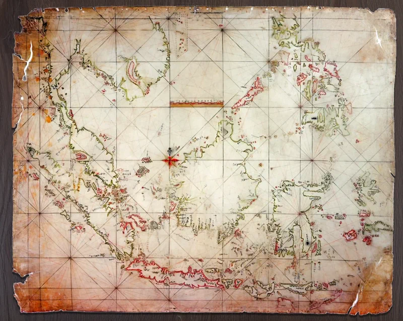
Recently, Sabri Zain’s Malayan History Society shared an intriguing artefact—the Bugis nautical chart known as “Boeginese zeekaart van de Indische Archipel” (Bugis sea chart of the Indian Archipelago). This sparked quite a stir among history enthusiasts, as Bugis maritime maps are an exceedingly rare glimpse into indigenous seafaring knowledge of the Nusantara.
Only five such maps are known to scholars. Tragically, three have been lost to time. The “Boeginese zeekaart” posted by Sabri is housed at the Utrecht University Library in the Netherlands, its origins dating back to the early 19th century (there is a discussion about its age at Sabri’s post).
Posted here is the lesser-known, and the only other Bugis map that is not lost, inaccurately labelled by the Spanish museum authorities as “Carta Indigena Filipina” (Indigenous Map of the Philippines). It was found “contained inside a bamboo tube taken from the breastwork of a Moro pirate ship captured near the waters of the Sulu archipelago”. The chart “was drafted in ink on cowhide, with highlights in various colors. It measures approximately 72 by 90 centimeters”. It found its way to Spain in 1847 and is now kept at the Archivo del Museo Naval in Madrid.
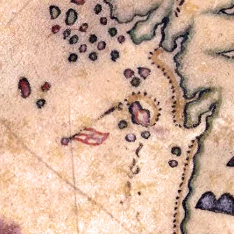
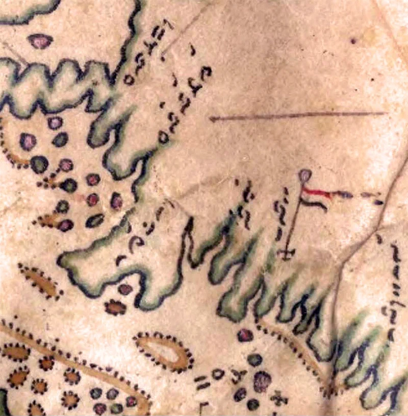
The names of the historic ports of Penang and Melaka are written in Lontara script - a syllabic writing system created by the Bugis. Their phonetic transliterations read as Pulopina (Pulau Pinang) and Malaka (Melaka). Other place names in the Straits of Malacca of interest are Basare (Pulau Besar, Melaka), Muwara (Muar) and Johoro (Johor)*.
Source:
Aditya Bayu Perdana & Muhammad Buana (2022), “Sea of Names: Spatial and Toponymic Translations in the 19th Century Bugis Maps of the Malay Archipelago”, Published in Translation: Southeast Asian Movement Publication, Issue 01, Fall 2022.
Aditya Bayu Perdana (2023), “Islands, maps, and Lontara’: Bugis counter-mapping on a nineteenth-century map of Nusantara”, Published in Wacana Journal of the Humanities of Indonesia, October 2023
Nasser S. Sharief (2023), “The Iranūn And Philippines’ Historical Claims In The South China Sea - The binding tie of place, meaning, and memory”
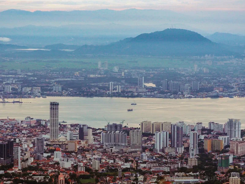
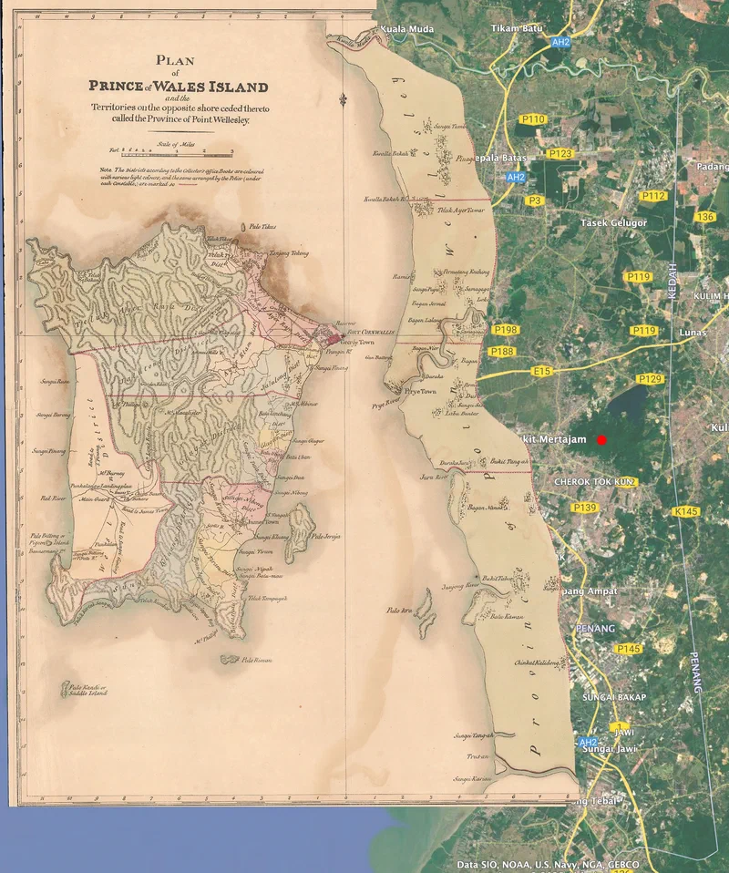
After years of contributing to Penang Monthly, I finally had the opportunity to write a cover story—and what better subject than Penang’s other Great Hill: Bukit Mertajam.
While Penang Hill has been extensively chronicled, its mainland counterpart has remained largely overlooked. Historians have explored the namesake town’s socio-political development, but the hill itself has never been studied in depth—until now.
You might be surprised to learn that during the first millennium Bukit Mertajam was much closer to the coast, shaping its role in regional trade and settlement patterns. It marked the southernmost frontier of Ancient Kedah (Kedah Tua) and, by the early 19th century, served as an international boundary between British Province Wellesley and Siam.
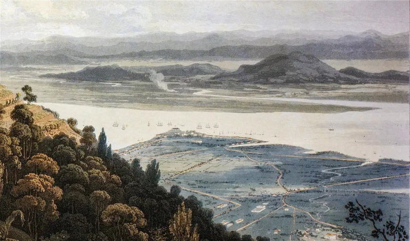
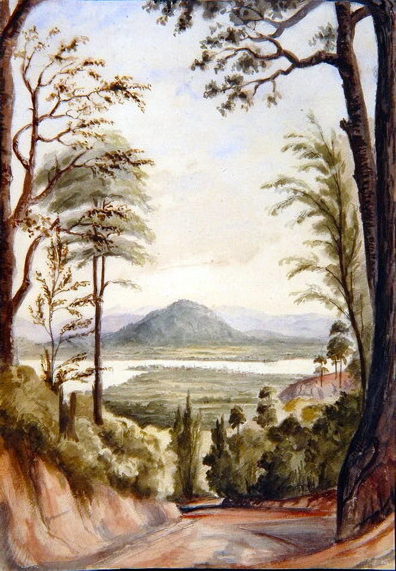
This feature presents the first-ever geographical history of Bukit Mertajam—tracing its evolution from the 5th century to the 19th century and uncovering the untold story of a peak that has shaped history while standing in plain sight.