An Early Survey of Penang by Captain Popham
Précis
This précis was automatically generated based on the full article text.
Penang was not unknown when Francis Light arrived in 1786. A 15th-century Chinese navigation chart based on Admiral Zheng He’s voyages already showed it, and Portuguese and Dutch maps marked an anchorage off its west coast. But detailed maps of the island’s early years are rare.
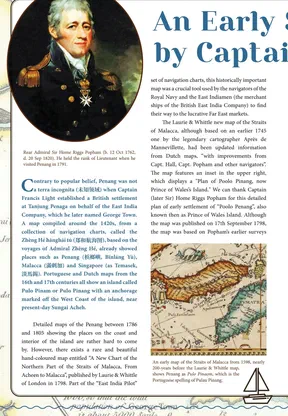
One of the best is a small inset on a hand-coloured chart of the Straits of Malacca, published in London by Laurie & Whittle in 1798. It is based on a survey by Home Riggs Popham, a naval officer who was blown off course to Penang by a monsoon in 1791. Seeing how hard ships found it to sail around the island’s north end, he offered to chart a route through the South Channel. Light gratefully accepted.
The plan estimates George Town’s population at about 5,000 people. It also labels twelve districts in old spellings: Tulloh Bahang (Teluk Bahang), Battie Pringy (Batu Ferringhi), Air Etam (Air Itam), Battel Muam (Batu Maung) and others. Almost all are Malay names that were already in use before the British came.
Key points
- Popham's survey was completed by early September 1791, just five years after the settlement was founded.
- The Sheriff of Calcutta paid for his chart, which was presented to the East India Company.
- Popham later had a varied career as a naval officer, diplomat, intelligence officer, inventor and Member of Parliament.
- 'Ferringhi' comes, via Hindi-Urdu and Persian, from the word for 'Franks', meaning Westerners.
- Only 'Scotland' and 'George Town' on the plan are not Malay names.
Why it matters
The plan is one of the earliest close looks at Penang's geography, and shows how old many of today's place names really are.
- Places
- Penang, George Town, South Channel, Teluk Bahang, Batu Ferringhi, Air Itam, Batu Maung, Teluk Kumbar
- Subjects
- Home Riggs Popham, Laurie & Whittle chart (1798), Francis Light, Zheng He navigation charts